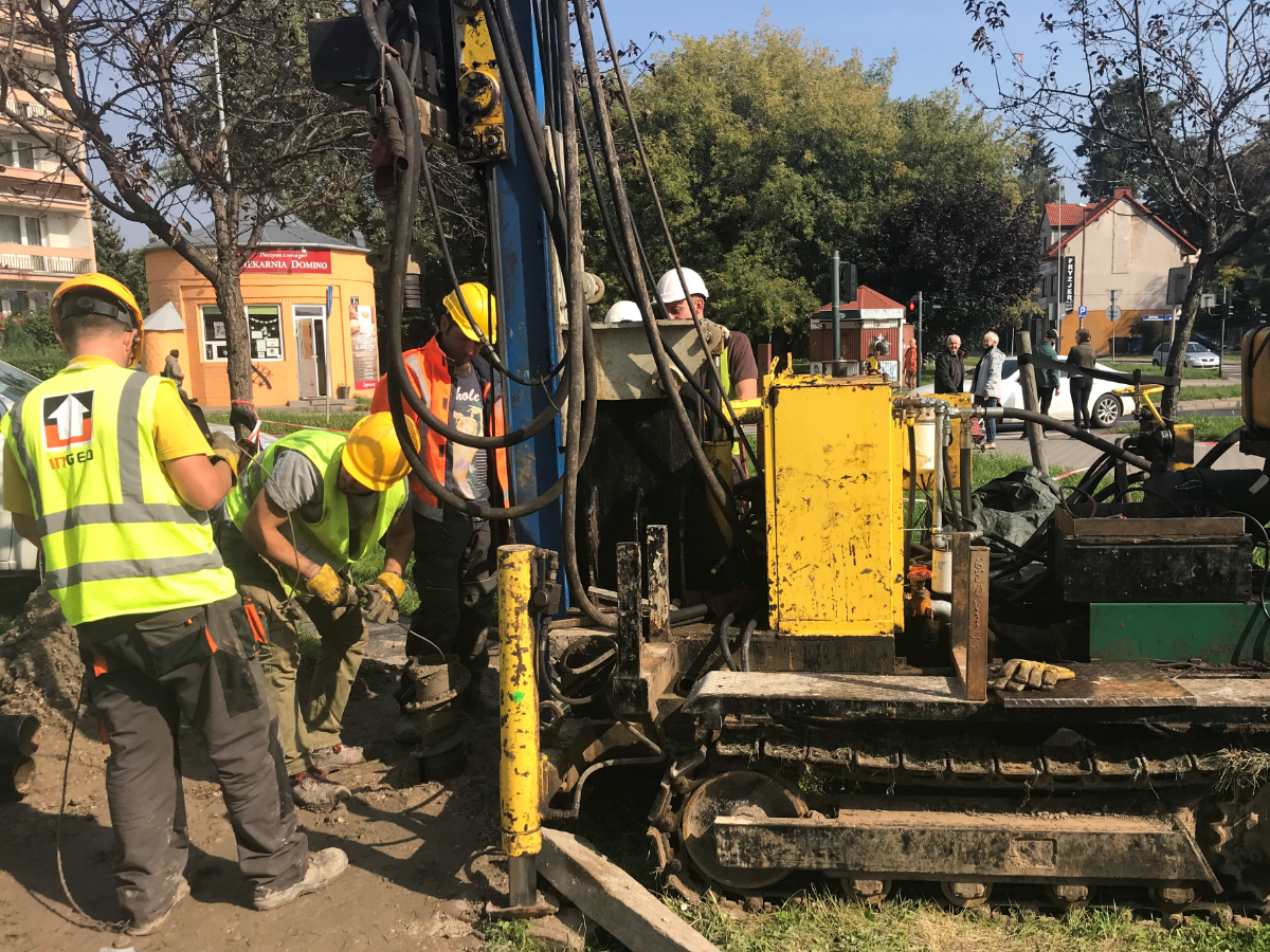
This autumn, the planned tramway route to Mistrzejowice will be checked from a geological perspective. It involves drilling and field sounding as well as laboratory analysis of samples collected. Purpose? To identify soil and water conditions where the works will be performed.
Drilling began in the third week of September and involves works at approx. 120 selected points in the strip of land where the project is planned. Deep boreholes are made in the area of the planned tramway tunnel, while shallow ones are performed where the trackbed and roads will be constructed. Geologists are already now checking the parameters and arrangement of the subsoil layers in specific locations. The next stage of the survey includes sounding and laboratory analyzes of the collected samples. This will bring detailed knowledge of the soil and water conditions where the new tram infrastructure is planned.
The survey is to be completed in November. What will the designer and contractor learn? For instance, the groundwater level of the groundwater will be established to allow engineers to properly design the lowered part of the trackbed and to select an adequate method of securing the excavations. They will also know whether the excavated spoil (soil) can be reused for construction purposes.
Once the substrate is accurately recognized from the geological perspective, new infrastructure can be safely designed and the impact of construction works minimized.